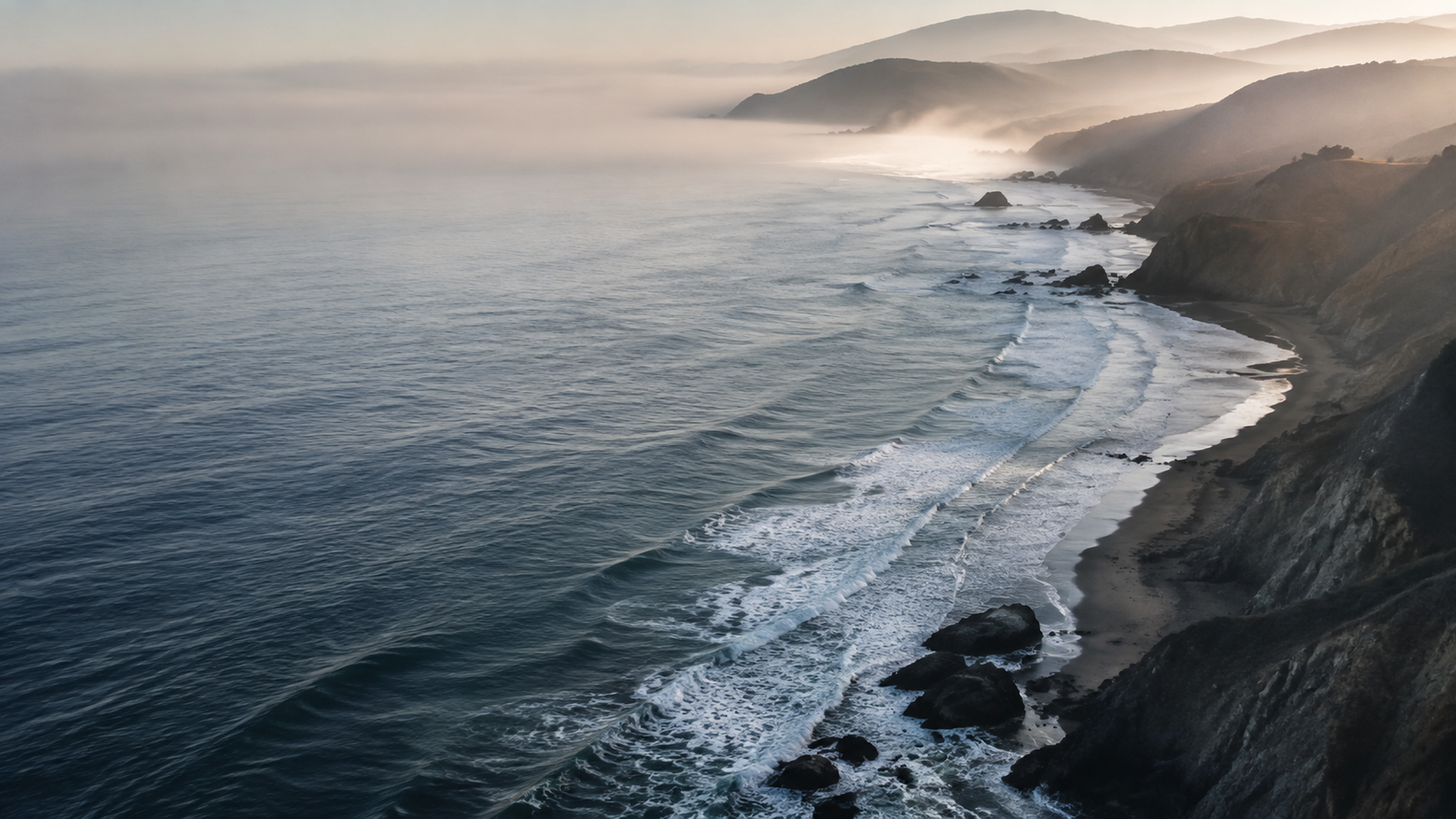
U.S. drowning deaths are attributed to rip currents each year. They also produce tens of thousands of lifeguard rescues.
Coastal hazards can change in minutes.
Rip currents, sneaker waves, changing visibility, crowding, and swimmer behavior do not occur as separate problems. ShoreSense brings those signals together so risk can be understood as it develops.
Sneaker waves can surge this far onto apparently dry beach, sometimes after long stretches of smaller waves.
The estimated chance of fatal drowning at a beach protected by USLA-affiliated lifeguards.
ShoreSense connects sensing, prediction, and response.
Distributed cameras and environmental inputs feed local computer vision and a dynamic model of the shoreline. The system then estimates changing risk and helps trained responders decide where attention and resources are needed.
How ShoreSense worksCoast
Cameras, sensors, environmental feeds, people, and rescue assets
Edge
Detection, tracking, optical flow, and local processing
Model
A living digital twin of hazards, movement, and response time
Response
Prioritized warnings, patrol coverage, staging, and routing
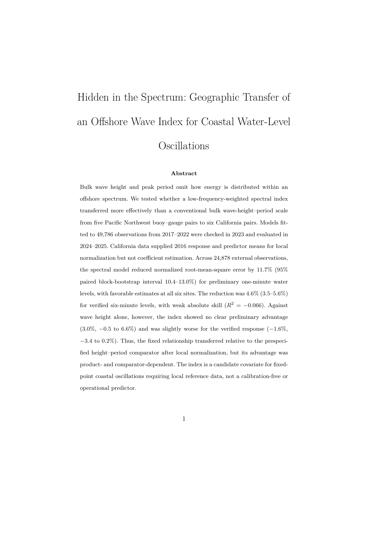
Research behind the environmental intelligence.
Hidden in the Spectrum: Geographic Transfer of an Offshore Wave Index for Coastal Water-Level Oscillations
The study examines whether information hidden inside offshore wave spectra can improve how coastal water-level oscillations are modeled across geography.
49,786development observations
24,878California observations
11.7%lower normalized RMSE in the primary comparison
Up to 98%
person-in-water detection accuracy across controlled prototype evaluations
The integrated prototype has been evaluated using coastal footage, public datasets, field data, and simulated hazard and response scenarios.
Built with the people who study and protect the coast.
ShoreSense advances through local pilot collaboration and scientific guidance across coastal resilience, environmental sensing, and applied research.
Pilot collaboration
Working toward a coastal pilot in Half Moon Bay.
ShoreSense is working with the San Mateo County Harbor District to explore how the integrated system can support coastal awareness and response in a real operating environment.
Research collaboration and guidance
ShoreSense has been informed by research collaboration and guidance spanning NASA, Stanford University, and the UC Santa Cruz Center for Coastal Climate Resilience.


Built from a need for earlier warning.
Behind ShoreSense is a longer effort to understand why coastal hazards remain difficult to anticipate and how technology can help trained responders see risk sooner.
Read the story